McGrath RealtyCommercial
Division
Back to all property for sale
For SaleLandMLS KEY961850

TBD County Route 12

Wawayanda, NY · Orange County
Listed by
Cronin & Company Real Estate
Shown from OneKey MLS. McGrath Realty does not represent this property. We can arrange to show it to you and represent you in buying it.
Site
2.03 acres
Zoning
AB

The offering

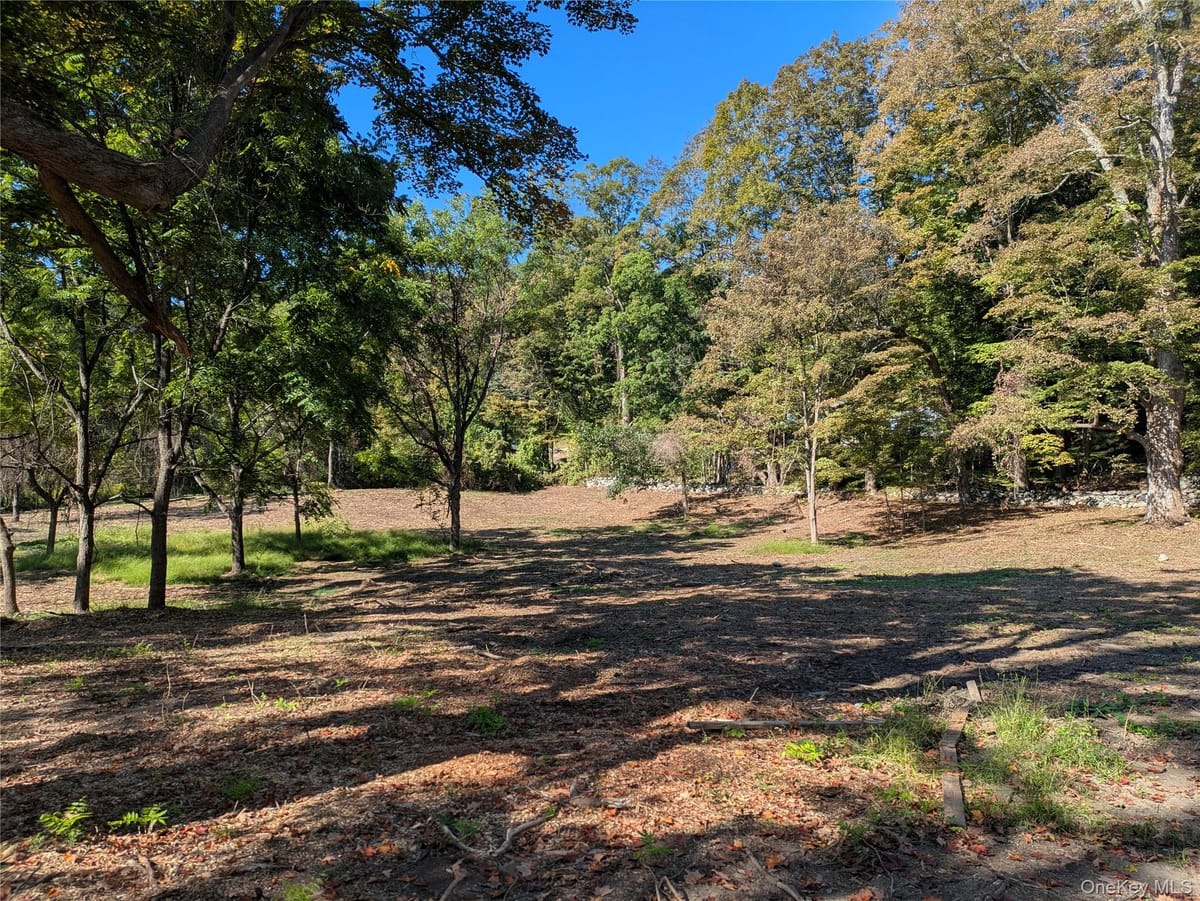
PRICE IMPROVED!! CALL TODAY! FULLY ENGINEERED LOT!!! MINISINK VALLEY SCHOOL DISTRICT!!! Build your dream home and enjoy gorgeous countryside views from this peaceful and private 2-acre lot located in the highly sought-after Minisink Valley School District. Perfectly positioned in an incredibly convenient location for commuters while still offering a serene, country setting, this exceptional property provides the ideal balance of privacy and accessibility.

Surrounded by natural beauty, this lot offers the perfect backdrop for those seeking outdoor recreation, tranquility, and a special place to call home. Enjoy the quiet surroundings of a private setting while remaining just minutes from the school’s main campus, shopping, restaurants, and major commuting routes.

Engineering for up to a 4 bedroom home has already been completed, making this a truly turnkey opportunity. Build with confidence and peace of mind knowing the property is fully approved and ready for a single-family home. With the engineering already done, you could get started building immediately and moving into your new home by summer.

Whether you envision a private retreat or a forever home surrounded by nature, the possibilities here are endless. Don’t miss this rare opportunity. Call today to learn more before this incredible property is gone.

Building & site

Interest conveyedFee simple
Property typeLand
Land area2.03 acres
Land area, SF88,427 SF
SewerNone
Electric utilityOrange & Rockland

Zoning & permitted uses

District
AB

Permitted uses are governed by the Wawayanda zoning code and should be confirmed with the municipality. Ask a broker for the district summary.

Aerial imagery

Aerial imagery over the property's mapped location, with the tax parcels around it from the county roll. Which of them is the property has not been confirmed, so none is singled out. Nothing here is a survey.
Comparable offerings