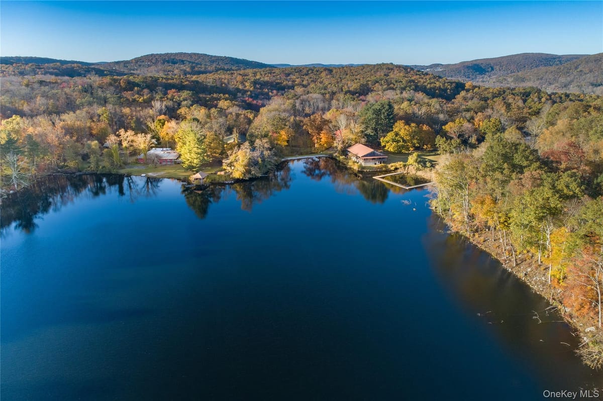
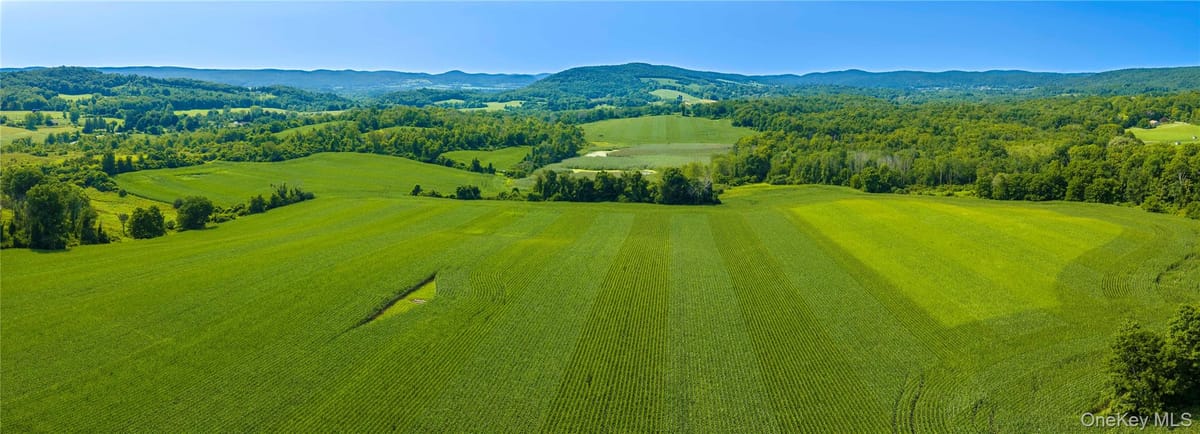
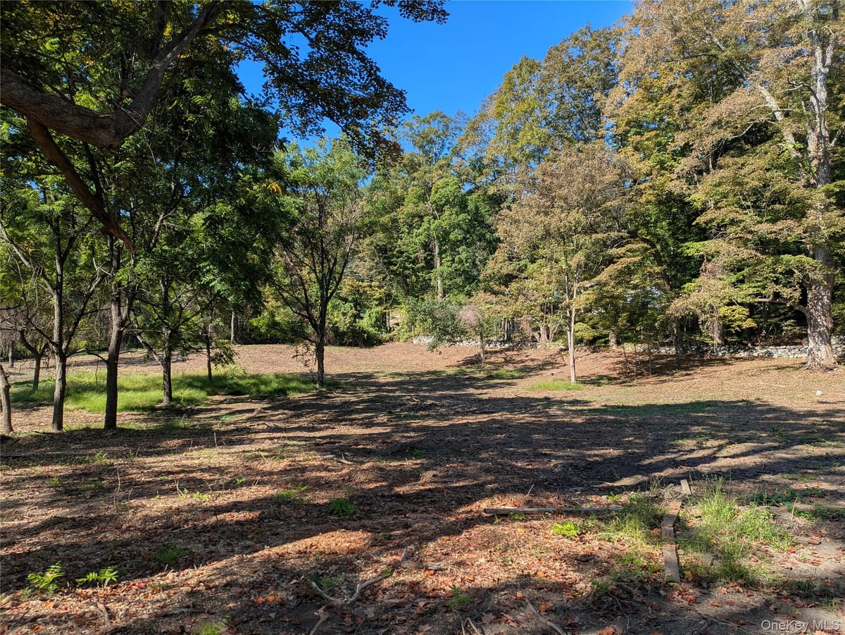
Shown from OneKey MLS. McGrath Realty does not represent this property. We can arrange to show it to you and represent you in buying it.
Site
4.10 acres
Zoning
B1
The offering
Discover the potential of this well-located parcel with B1 Zoning and a wide range of possible uses. Conveniently situated near the Taconic Parkway and Route 82, this property offers excellent accessibility and visibility.
The land can be easily cleared, making it an ideal opportunity for development. Whether you're considering residential or
commercial use, this versatile parcel is ready for your vision.
Great location. B1 Zoning. Easy access. Unlimited possibilities.
Don't miss this opportunity to secure a property with tremendous potential.
Building & site
Interest conveyedFee simple
Property typeLand
Land area4.10 acres
Land area, SF178,596 SF
SewerNone
Tax parcel1328006559-03-151204-0000
Zoning & permitted uses
District
B1
Permitted uses are governed by the East Fishkill zoning code and should be confirmed with the municipality. Ask a broker for the district summary.
Aerial imagery
The outline is this property's tax parcel from the county assessment roll, over current aerial imagery. Boundaries are indicative and are not a survey.
Municipal and county figures from the US Census American Community Survey (2024 5-year) and the Bureau of Labor Statistics. These are jurisdiction totals, not radius rings; ask a broker for a drive-time or radius study on a specific site.
Taxes & assessment
2025 taxes
$3,687
Assessed value
$131,300
Land assessment
$131,300
Full market value
$131,300
Owner of record
Ghatalia, Ashwin
School district
Arlington
Property class
311
Estimated annual tax, 2025 roll
County and town
$647
School, Arlington
$2,923
Special districts
$125
Estimated total
$3,695
The estimate is the assessed value at the current county, town, school and village rates. Not a bill: exemptions, and any change to the assessment or the rates, move it.
Floodplain
25% of the parcel lies within the mapped floodplain. Buildable area, insurance and any expansion should be checked against the current FEMA mapping before you rely on it.
Assessment figures are taken from the municipal roll and should be independently verified. Annual tax bills are available on request.