McGrath RealtyCommercial
Division
Back to all property for sale
For SaleLandMLS KEY996860

0 County Route 21

Hillsdale, NY · Columbia County
Listed by
Four Seasons Sothebys Intl
Shown from OneKey MLS. McGrath Realty does not represent this property. We can arrange to show it to you and represent you in buying it.
Site
228.40 acres
Zoning
RU-C

The offering

Welcome to DREAMLAND.

Set along a quiet country road, this exceptional 22 acre parcel offers the rare combination of privacy, curated natural beauty, and effortless access from New York City. Just minutes from the Taconic State Parkway, the property is ideally positioned for seamless weekend escapes or full-time living.

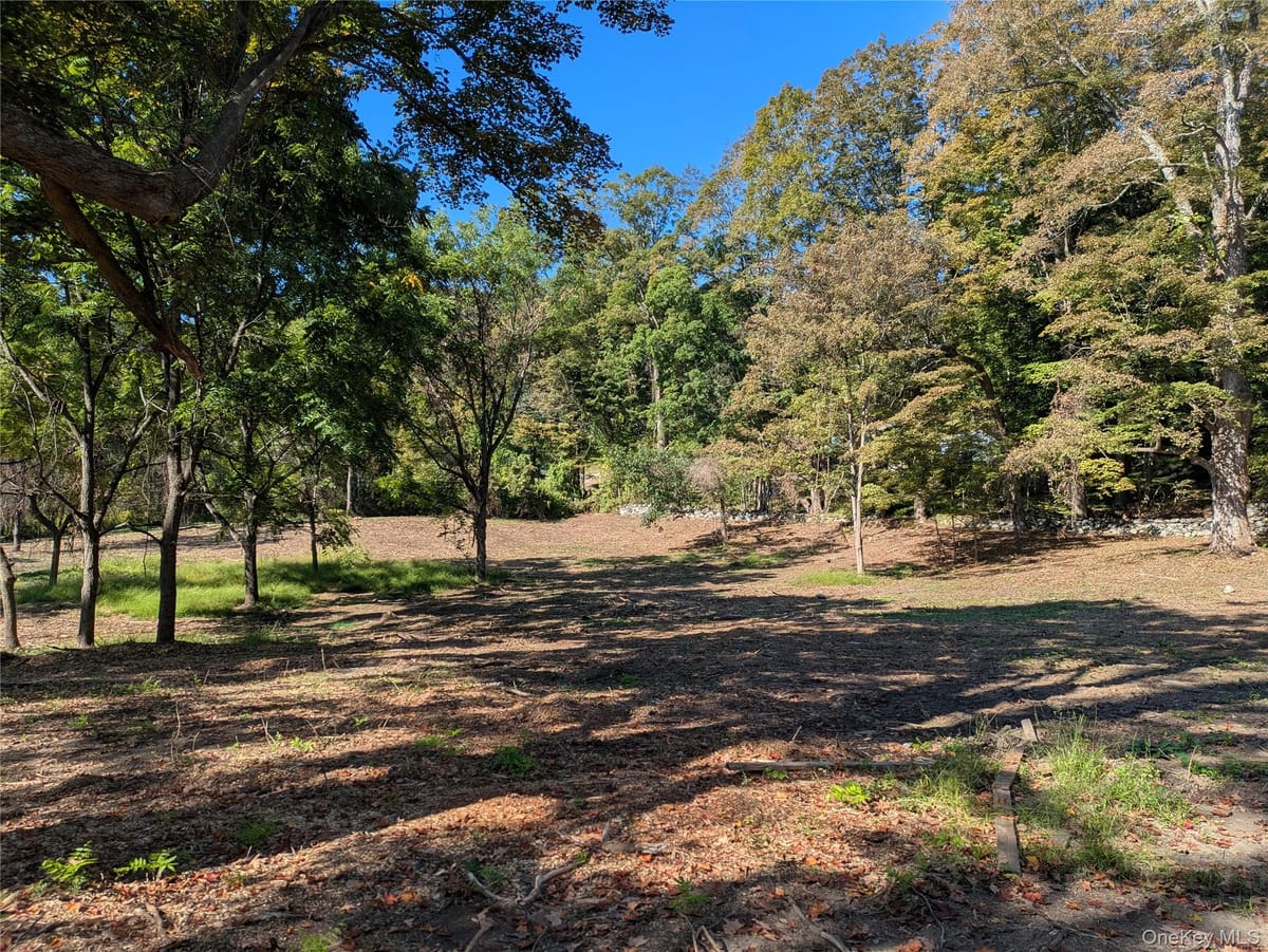
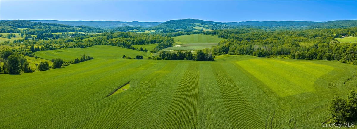
A sun-drenched open meadow—perfectly oriented for southern exposure—creates an ideal setting for a modern country estate, while a network of winding, tree-lined trails invites exploration through a landscape of mature hardwoods, including striking 200-year-old oak trees and historic stone walls. The setting feels both expansive and intimate, a 5 acre building site offering the opportunity to design a home that fully captures the surrounding natural beauty.

Located moments from the renowned Hawthorne Valley School and its celebrated farm store, and within easy reach of the cultural richness of the Berkshires, this property places you at the intersection of nature, design, and lifestyle. Skiing, art, and dining are all nearby, while the vibrant riverfront city of Hudson is just 20 minutes away.

A rare opportunity to create a legacy property in one of the Hudson Valley’s most sought-after settings—where architecture, landscape, and lifestyle come together seamlessly. BOHA, Driveway permit, survey

Building & site

Interest conveyedFee simple
Property typeLand
Land area228.40 acres
Land area, SF9,949,104 SF
WaterNone
SewerSeptic Needed
Electric utilityNYSEG
Distance to train10 mi

Zoning & permitted uses

District
RU-C

Permitted uses are governed by the Hillsdale zoning code and should be confirmed with the municipality. Ask a broker for the district summary.

Aerial imagery

Aerial imagery over the property's mapped location, with the tax parcels around it from the county roll. Which of them is the property has not been confirmed, so none is singled out. Nothing here is a survey.
Comparable offerings