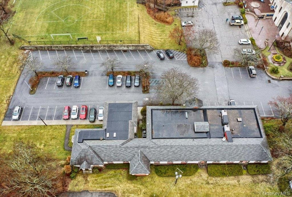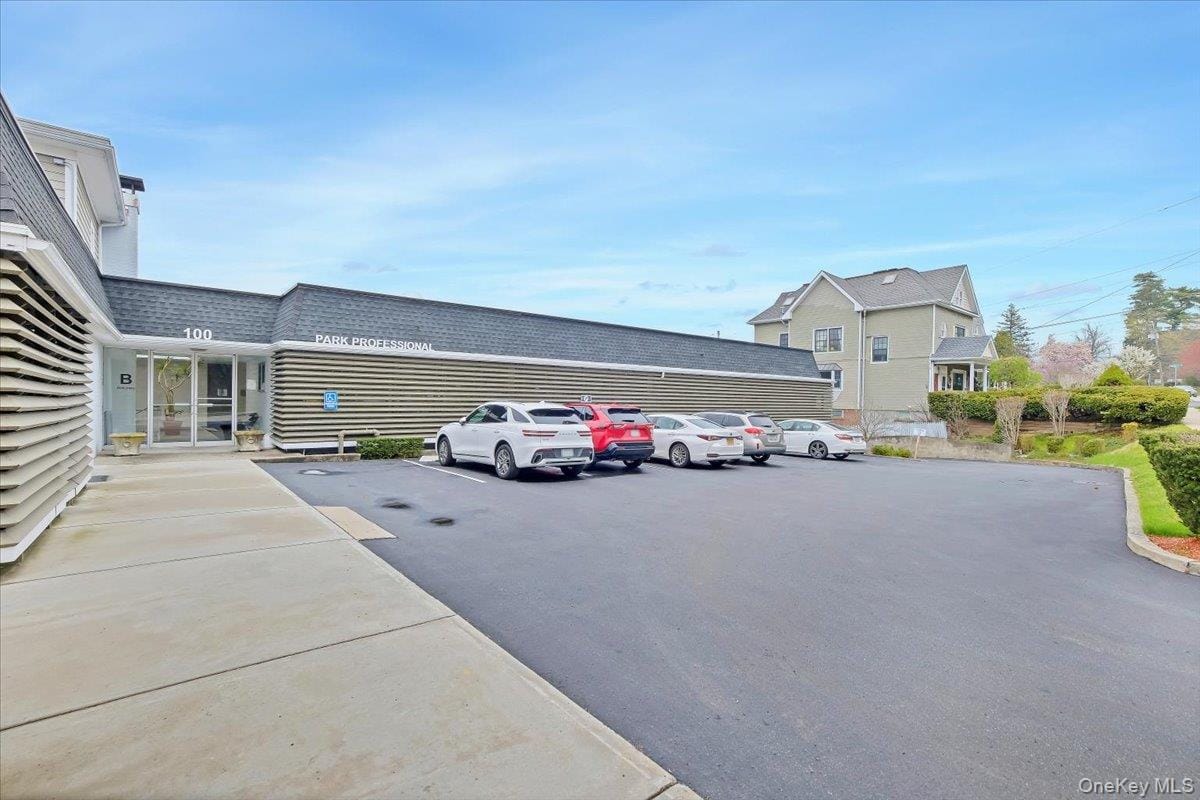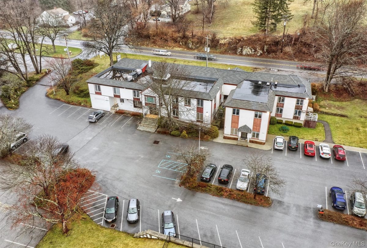
For LeaseOfficeMLS KEYH6003914
445 N State Road
Ossining, NY · Westchester County
Listed by
The Foxes Real Estate
Shown from OneKey MLS. McGrath Realty does not represent this property. We can arrange to show it to you and represent you in buying it.
Building
149 SF
Site
0.00 acres
Year built
2014
Zoning
B1
The offering
Building & site
Interest conveyedFee simple
Gross building area149 SF
Building typeOffice
Property typeOffice
Year built2014
Land area0.00 acres
Land area, SF4 SF
WaterPublic
SewerPublic Sewer
HeatENERGY STAR Qualified Equipment, Natural Gas
Usable area149 SF
Parking spaces2
Electric utilityCon-Edison
Zoning & permitted uses
District
B1
Permitted uses are governed by the Ossining zoning code and should be confirmed with the municipality. Ask a broker for the district summary.
Aerial imagery
Aerial imagery over the property's mapped location, with the tax parcels around it from the county roll. Which of them is the property has not been confirmed, so none is singled out. Nothing here is a survey.
Location, access & trade area
Trade area
Measure
Ossining
Westchester County
Population
39,276
1,006,447
Daytime population
33,140
986,667
Population density
2,516 / sq mi
2,338 / sq mi
Households
13,711
376,890
Median household income
$125,539
$118,596
Mean travel time to work
37 min
36 min
Median home value
$552,900
$691,100
Median gross rent
$2,203
$1,980
Unemployment (July 2026)
3.8%
Not stated
School districts
Briarcliff Manor, Clarkstown, Croton-Harmon, Ossining, Pocantico Hills
ZIP codes
10510, 10520, 10545, 10562, 10570
Municipal and county figures from the US Census American Community Survey (2024 5-year) and the Bureau of Labor Statistics. These are jurisdiction totals, not radius rings; ask a broker for a drive-time or radius study on a specific site.