For SaleBusinessMLS KEY933993
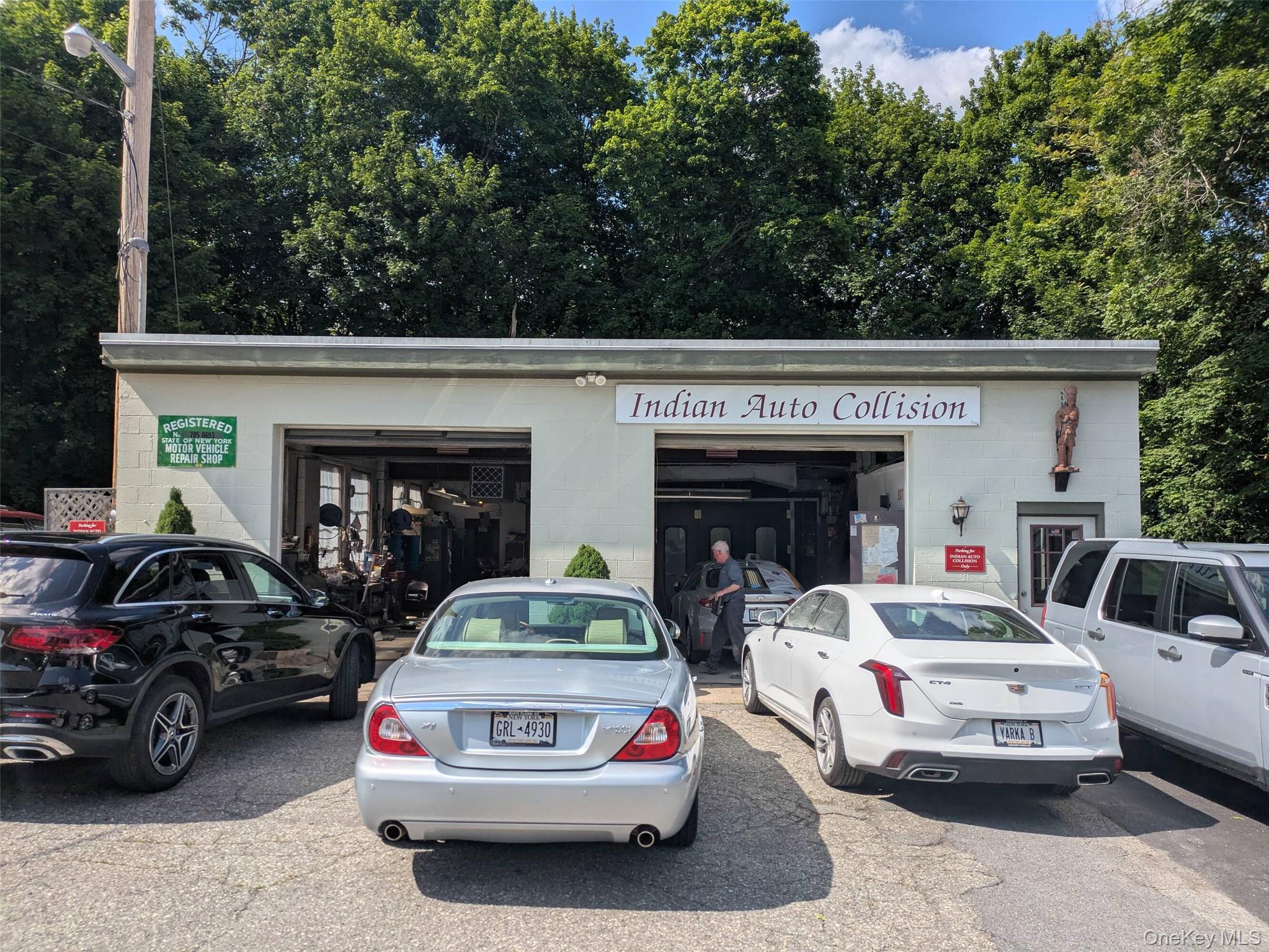
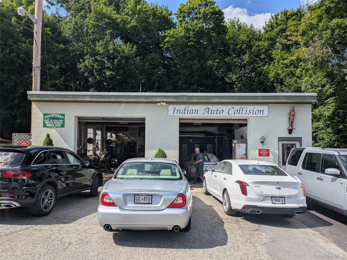
34 Old State Route 22
Dover, NY · Dutchess County
Building
3,236 SF
Site
1.70 acres
Price / SF
$399
Year built
1937
Zoning
RU
Stories
1
The offering
Building & site
Interest conveyedFee simple
Gross building area3,236 SF
Building typeBusiness
Property typeBusiness
Year built1937
Stories1
Land area1.70 acres
Land area, SF74,052 SF
WaterWell
SewerSeptic Tank
HeatForced Air, Propane
Tax parcel1326007160-00-226426-0000
Usable area3,236 SF
Number of buildings1
Parking spaces50
Electric utilityNYSEG
Distance to train1 mi
Zoning & permitted uses
District
RU
Permitted uses are governed by the Dover zoning code and should be confirmed with the municipality. Ask a broker for the district summary.
Taxes & assessment
| 2025 taxes | $5,880 |
|---|---|
| Assessed value | $109,900 |
| Land assessment | $21,000 |
| Full market value | $309,600 |
| Owner of record | Barbarie, Thomas |
| School district | Dover |
| Property class | 421 · Restaurant |
Floodplain
8% of the parcel lies within the mapped floodplain. Buildable area, insurance and any expansion should be checked against the current FEMA mapping before you rely on it.
Assessment figures are taken from the municipal roll and should be independently verified. Annual tax bills are available on request.